Start with the people, not the summit
Ask what the outing is for before drawing a route. A navigation practice day, a first overnight expedition and a fast walk between experienced partners need different margins. Discuss recent experience, physical comfort, medical considerations people choose to share, and how readily each person can change plans. Do not let the most confident voice quietly define everyone else’s acceptable level of uncertainty.
Write one sentence that describes success. “Return together after practising three short navigation legs” supports different decisions from “reach the highest point.” In the Lake District or Eryri, a lower-level circuit can provide meaningful learning without the exposure of a high ridge. These places are examples of varied terrain, not recommendations for a particular day or group.
Use information with a known purpose
Combine suitable topographic mapping with current weather, daylight, access information and local notices. Ordnance Survey Explorer and Landranger mapping serve different scales of overview and detail; learn which map you are using rather than treating every printed centimetre alike. In Scotland, check access responsibilities through the Scottish Outdoor Access Code. In England and Wales, consult the Countryside Code and the relevant land manager.
Mountain Weather Information Service and Met Office mountain forecasts can inform planning in the United Kingdom. They do not describe every hollow or predict precisely what your team will encounter. Record when you checked information, which uncertainties remain, and what fresh observation would make the plan unsuitable. A downloaded route is a suggestion to assess, not proof of safety or permission.
Make each leg explainable
Choose legs between features the team expects to identify: a distinctive junction, a ridge crossing or a clearly mapped boundary. Record the starting point, destination, approximate distance, height change and expected surface. Add a collecting feature that helps confirm progress and a catching feature that would suggest you have travelled too far. Avoid checkpoints whose identification depends on one small, uncertain detail.
For each leg, ask someone other than its planner to explain the sequence. What should appear first? Which side should the stream be on? What would look wrong? This teach-back is not an examination. It reveals missing context while the group is still warm, unhurried and able to choose an easier option.
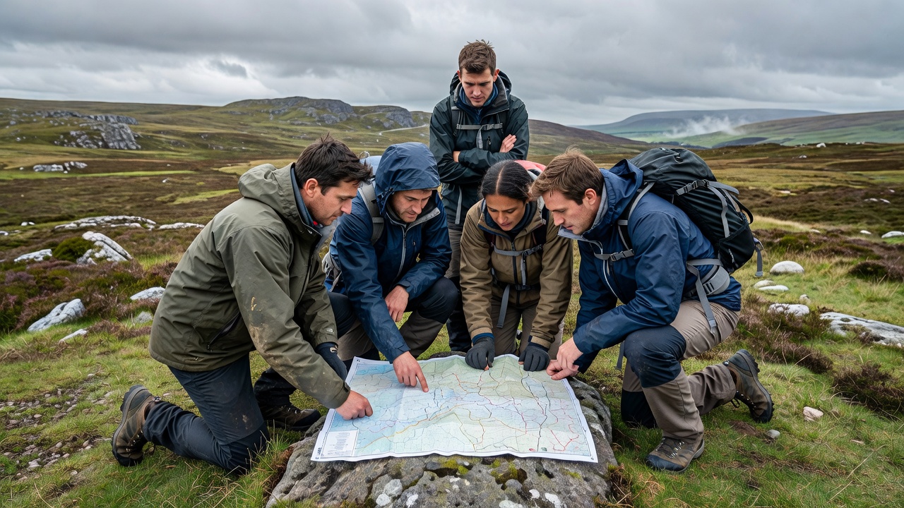
Plan for the group that is actually coming
Estimate movement time using a method you understand, then allow explicitly for navigation, food, clothing changes, rest and difficult ground. Naismith’s Rule is a traditional starting estimate, not a reliable prediction for every group or terrain. Heavy packs, fatigue, poor visibility and repeated checks can change progress substantially. Compare assumptions with your own recent, similar outings whenever possible.
Identify decision times at useful locations rather than keeping one optimistic finish time. A team reaching a junction later than expected should already know which shorter option it will consider. Keep a daylight and contingency margin appropriate to the environment. An agreed turnaround time never overrides earlier evidence that conditions, health or group confidence have deteriorated.
A fallback needs its own briefing
“We will descend if needed” is not yet an alternative route. Identify where that descent starts, the ground it crosses, the navigation it requires and whether it introduces a new hazard. A valley may contain difficult water crossings; a short line can be steeper than a longer return. Review alternatives with the same care as the intended route.
Agree who can call a stop and how a decision will be reached. Anyone should be able to raise a concern without first proving that the plan is unsafe. Use observations rather than a popularity contest: visibility, actual progress, equipment problems and participant condition. If an alternative only works while everyone remains strong and the weather stays kind, it is not much of a contingency.
Leave a plan someone else can use
Give a trusted contact your intended route, alternatives, group details, expected return and agreed overdue procedure. Explain how you will confirm completion and what to do if that confirmation never arrives. Do not assume a tracking link will update everywhere or that a message marked as sent has been received.
Before moving, have another person locate the start on the map and describe the first leg. After returning, compare the plan with what happened. Note where timing was optimistic, which checkpoints were ambiguous and whether everyone felt able to speak. The next route should benefit from the whole team’s observations, not merely inherit the leader’s memory.